eRTK25 Visual GNSS Receiver IMU/Tilt Function
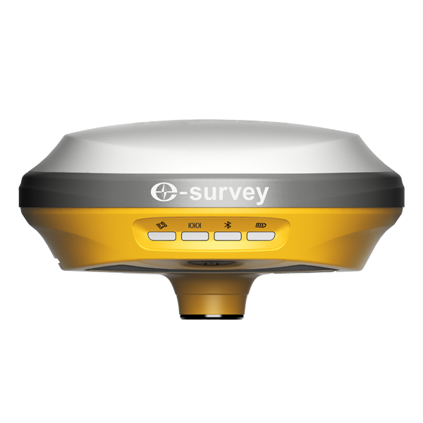
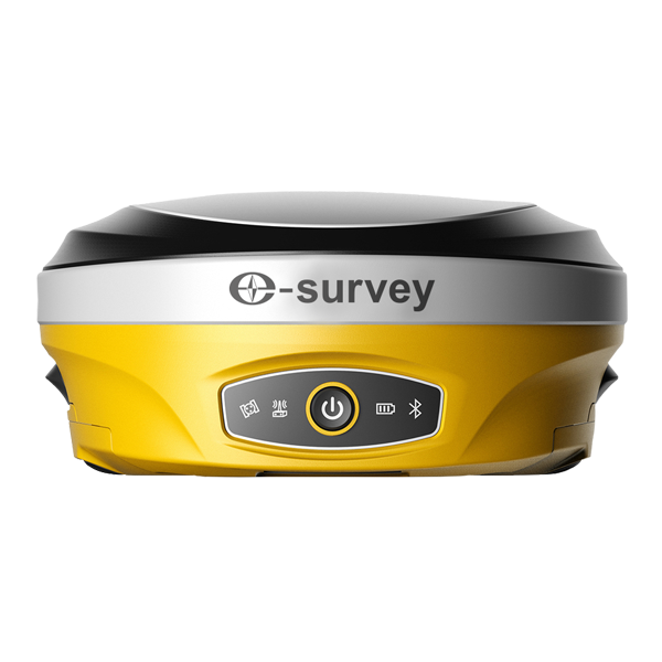
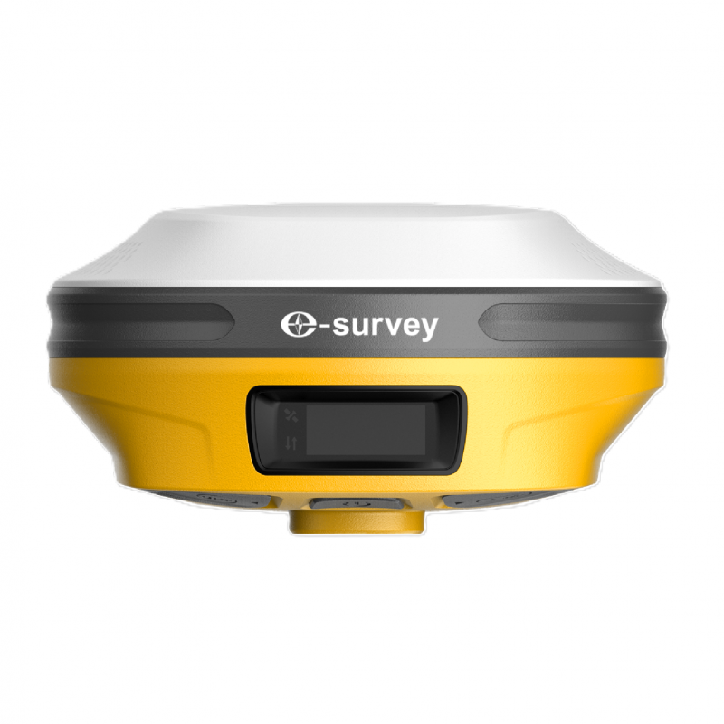
The eSurvey eRTK25 is a high-precision visual GNSS receiver designed for accurate, efficient surveying in demanding environments. Combining GNSS positioning, laser ranging and a wide-angle dual-camera vision measurement system, it enables reliable data capture in daylight, confined spaces, complex terrain and extreme temperatures.
With integrated laser and AR technology, the eRTK25 allows users to overlay CAD designs onto real-world site conditions for more efficient AR stakeout. This helps improve on-site productivity while supporting accurate, non-contact measurements in areas that may be difficult, unsafe or impractical to access directly.
The receiver delivers centimetre-level accuracy through advanced sensor fusion, making it suitable for industrial, construction and geospatial applications where precision is essential. Its laser measurement capability is particularly useful for tight spaces, high or low temperature environments, and locations where traditional pole-based measurement may be challenging.
The eRTK25 also supports tilt surveying of up to 60°, allowing measurements to be taken without keeping the pole perfectly level. This makes it easier to capture points around building corners, slopes, obstacles and other difficult locations. Accuracy is maintained even if the pole shakes slightly, provided the pole tip remains stationary.
For field communication, the eRTK25 features an advanced long-range UHF modem compatible with major traditional radio protocols. In suitable urban conditions, the communication range can reach up to 10 km with 1W transmit power.
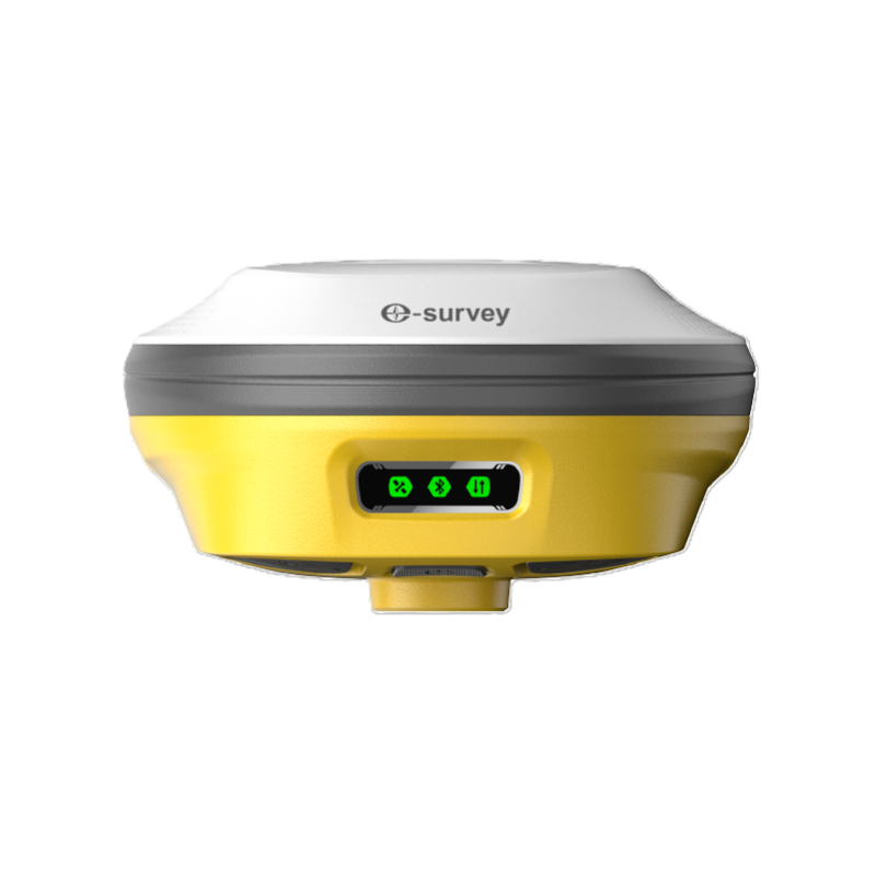
With 1408 GNSS channels, the receiver supports GPS, BDS, GLONASS, Galileo, QZSS, NavIC, SBAS and L-Band signals, providing stable positioning performance for a wide range of surveying applications.
Key features include:
- High-precision GNSS receiver with integrated laser ranging
- Wide-angle dual-camera vision measurement system
- AR stakeout for overlaying CAD designs onto real-world environments
- Centimetre-level non-contact laser measurement
- Reliable operation in daylight, confined spaces and complex terrain
- Operating temperature range from -30°C to 70°C
- Up to 60° tilt survey capability with no levelling required
- Dynamic stability for accurate results even if the pole shakes slightly
- Advanced long-range UHF modem with up to 10 km communication range
- 1408 GNSS channels supporting GPS, BDS, GLONASS, Galileo, QZSS, NavIC, SBAS and L-Band
- Suitable for industrial, construction and geospatial applications
Visit the A1 Survey Ltd website for more information on eRTK25 Visual GNSS Receiver IMU/Tilt Function
ENQUIRY FORM