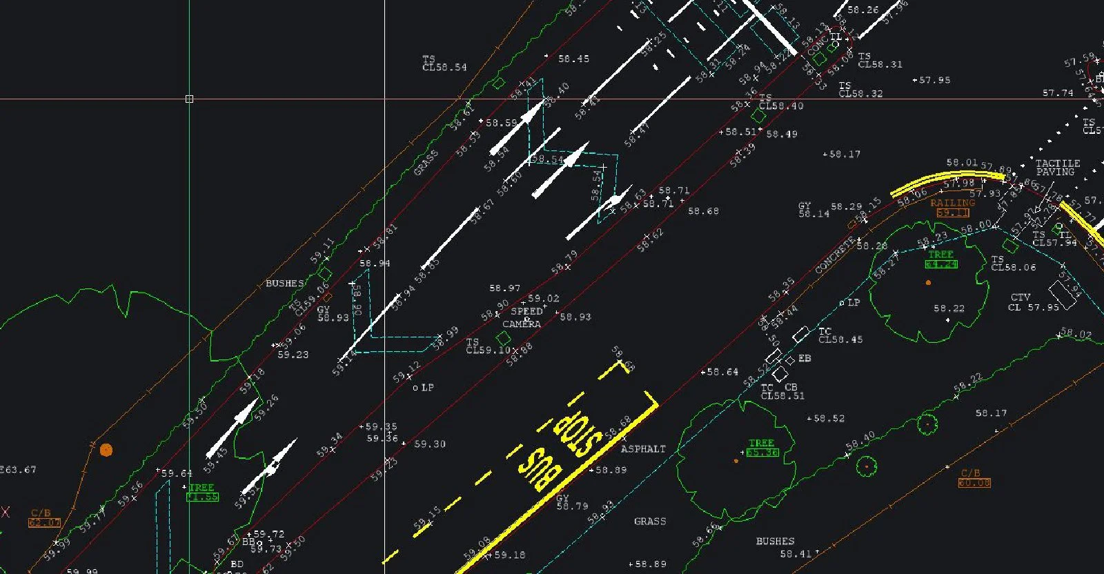
Nationwide GPS Land Surveys For Commercial Developers
Nationwide GPS Land Surveys For Commercial DevelopersCleverly GPS enables us to carry out large site surveys in a quick and effective manner, saving our clients time and money. Our experienced surveyors can collect large volumes of data from open areas with great efficiency, to produce GPS Land Surveys that are highly accurate; our GPS surveying equipment can achieve accuracy to +/-15mm. Since a line of sight is not necessary between two points when using GPS, a surveyor can cover a larger area where sight lines are not possible because of distance or obstructions between points. Scale factor is also incorporated if required as opposed to a flat grid.
SJ Geomatics © are licensed to download and copy Ordnance Survey data in-house and issue drawings to clients. Using Leica © 1200 RTK units, we can give real-time co-ordinates to local or national grid values enabling our clients to use our data for flood risk assessment, allowing immediate decision making based on accurate and instant data.

Visit the SJ Geomatics Ltd website for more information on Nationwide GPS Land Surveys For Commercial Developers
ENQUIRY FORM