Aerial Surveys of Large Buildings
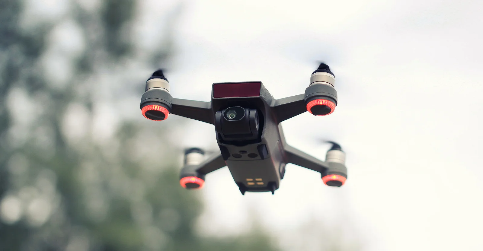
Aerial Surveys of Large BuildingsUsing our UAV we can stipulate high resolution aerial photographs over any given area. The UAVs allow for access to awkward places such as rooftops where this would allow for further planning or detailed inspections, lakes or large bodies of water and to give a clear idea of the progression and visual outcome of building sites and improvements.
Please feel free to contact us on 01986 872716 if you need more details!

Visit the SJ Geomatics Ltd website for more information on Aerial Surveys of Large Buildings
ENQUIRY FORM